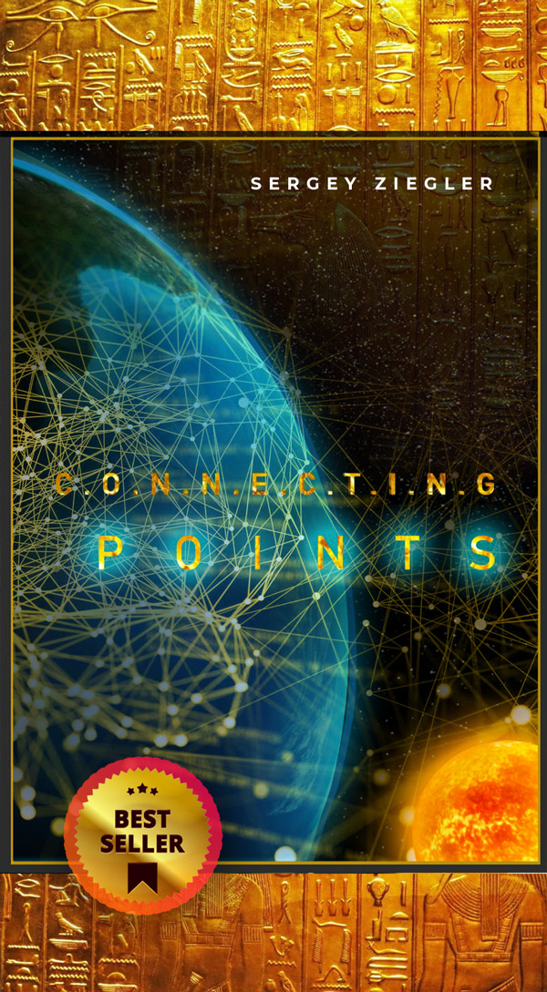
Для того, чтобы увидеть текст и видеоматериалы, нужно быть зарегистрированным пользователем. Для этого необходимо приобрести книгу с включённой в покупку подпиской на все обновления и блог.
Узнать про исследования Сергея Циглера и погрузиться в настоящую хронологию нашей планеты, узнать про то, как появилась Луна, откуда она прилетела, кто нас создал и куда они исчезли. Что за страшная планетарная катастрофа произошла на нашей планете и узнать настоящую историю чеовечества, можно, купив книгу "Соединяя Точки". Таким образом, Вы поддержите дальнейшие исследования. В покупку также входят подписка на обновления и доступ ко всем материалам блога.
Также у Вас имеется возможность поддержать исследования Сергея Циглера, да и просто, чисто по-человечески, выразить благодарность за что-то новое, что Вы узнали сегодня, путём доната.
Реквизиты:
Карта: 2204320497763351
USDT TRС20: TMPQV8iEzY71gCYFehpS3o3ooMu642RWb4
cashcom: YTM4ODNjNTM4YzE3MTUxZTdjYjg3ZTdiN
No any discussion about this information


